The Parish is 2,000 acres of largely arable farmland
Our Beautiful Location
The Parish of Brightwalton, in West Berkshire lies to the south of the Berkshire Downs midway between Wantage and Newbury. The 350 houses within the village are scattered into five main clusters over the 2,054 acres that make up the Parish. Brightwalton is one of a number of Downland villages on the Berkshire Downs, stretching from Lambourn to Streatley, all in an Area of Outstanding Natural Beauty (AONB). The North Wessex Downs AONB now has a Management Partnership, which includes all 11 district authorities.
The Parish is part of the United Benefice, comprising Brightwalton with Catmore, Leckhampstead, Chaddleworth and Fawley. It is six miles south of Wantage (Oxon) and 12 miles north of Newbury. It lies six miles north of the M4 and is equi-distant between exits 13 and 14. At 600 ft., the village is at a high point of the area; all roads rise up to the village and there are attractive views of rolling countryside. A recent countryside survey for the AONB designated the area as the "Brightwalton Downs" and is is adjacent to a stretch of Ridgeway.
The Parish is part of the United Benefice, comprising Brightwalton with Catmore, Leckhampstead, Chaddleworth and Fawley. It is six miles south of Wantage (Oxon) and 12 miles north of Newbury. It lies six miles north of the M4 and is equi-distant between exits 13 and 14. At 600 ft., the village is at a high point of the area; all roads rise up to the village and there are attractive views of rolling countryside. A recent countryside survey for the AONB designated the area as the "Brightwalton Downs" and is is adjacent to a stretch of Ridgeway.
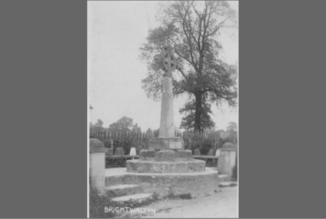
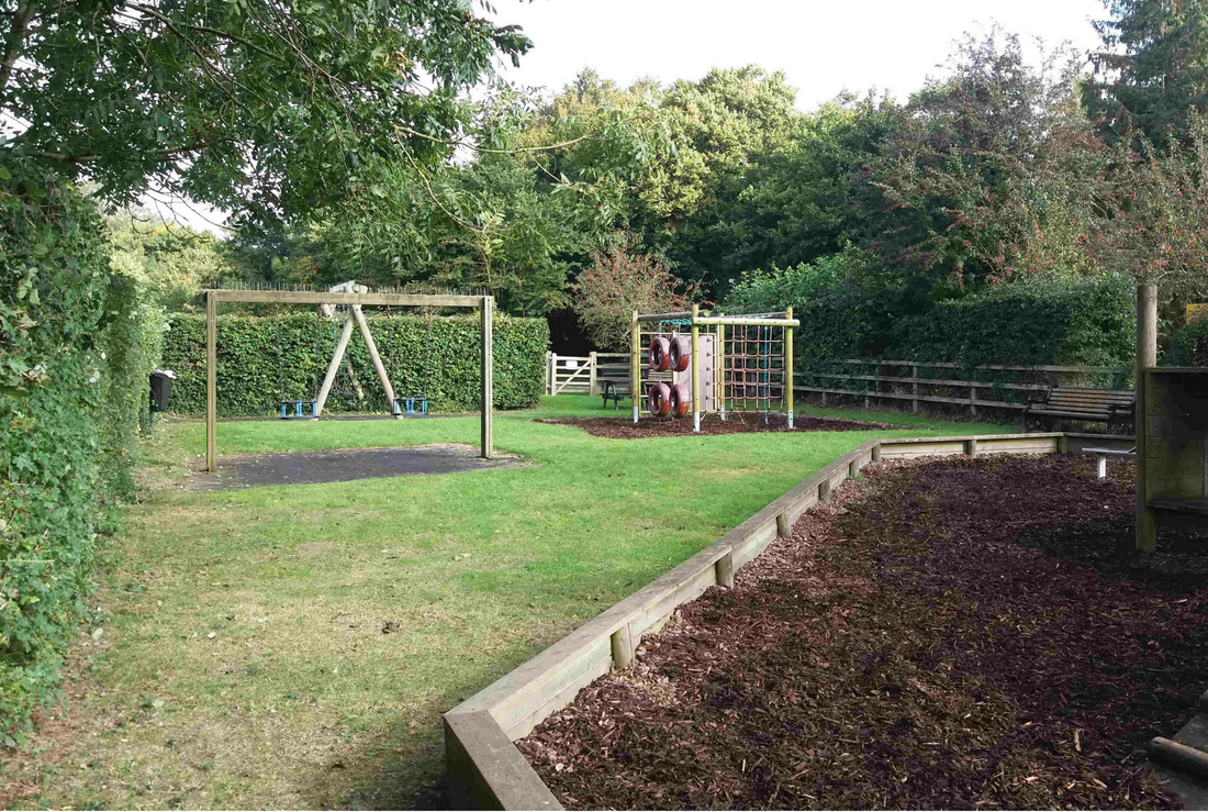
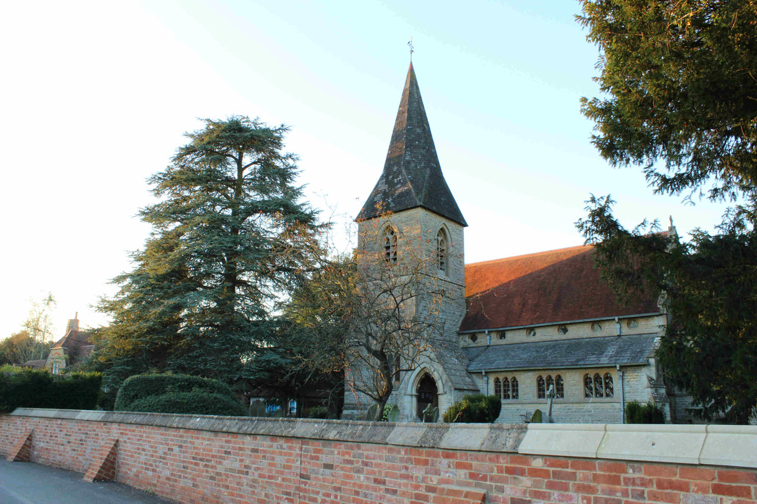
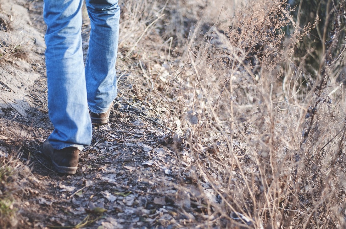
Brightwalton In Pictures
There's no better way, other than coming here yourself, to explain what our village is like. The gallery of images below shows how it looks today. If you're interested you can read all about our history here.
Our Village And Community
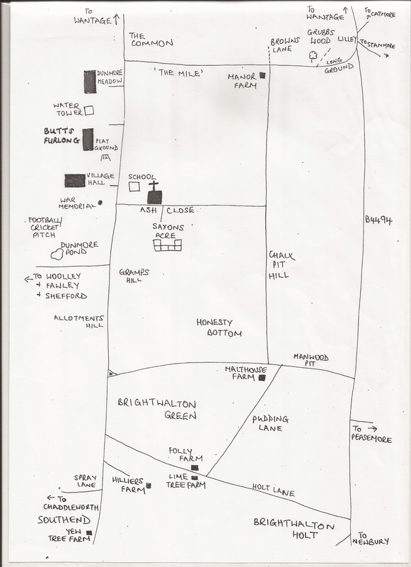
Our village is dispersed with houses at the Common, the Holt, the Green, Pudding Lane and Southend, each separated by fields. A handy map of our village is below. Despite us being dispersed, we manage to retain a strong community spirit which is evident from our Annual Village Fete. We've been holding a village fete every May since 1975. The 2018 fete took place on the Sunday the 6th May, it was an excellent turnout with over £2,800 raised. The money raised each year goes to the upkeep of the village hall. The fete planning meeting normally takes place in March, volunteers are always required, if you would like to be involved please keep an eye out in the Brickleton News & website News section for further details.